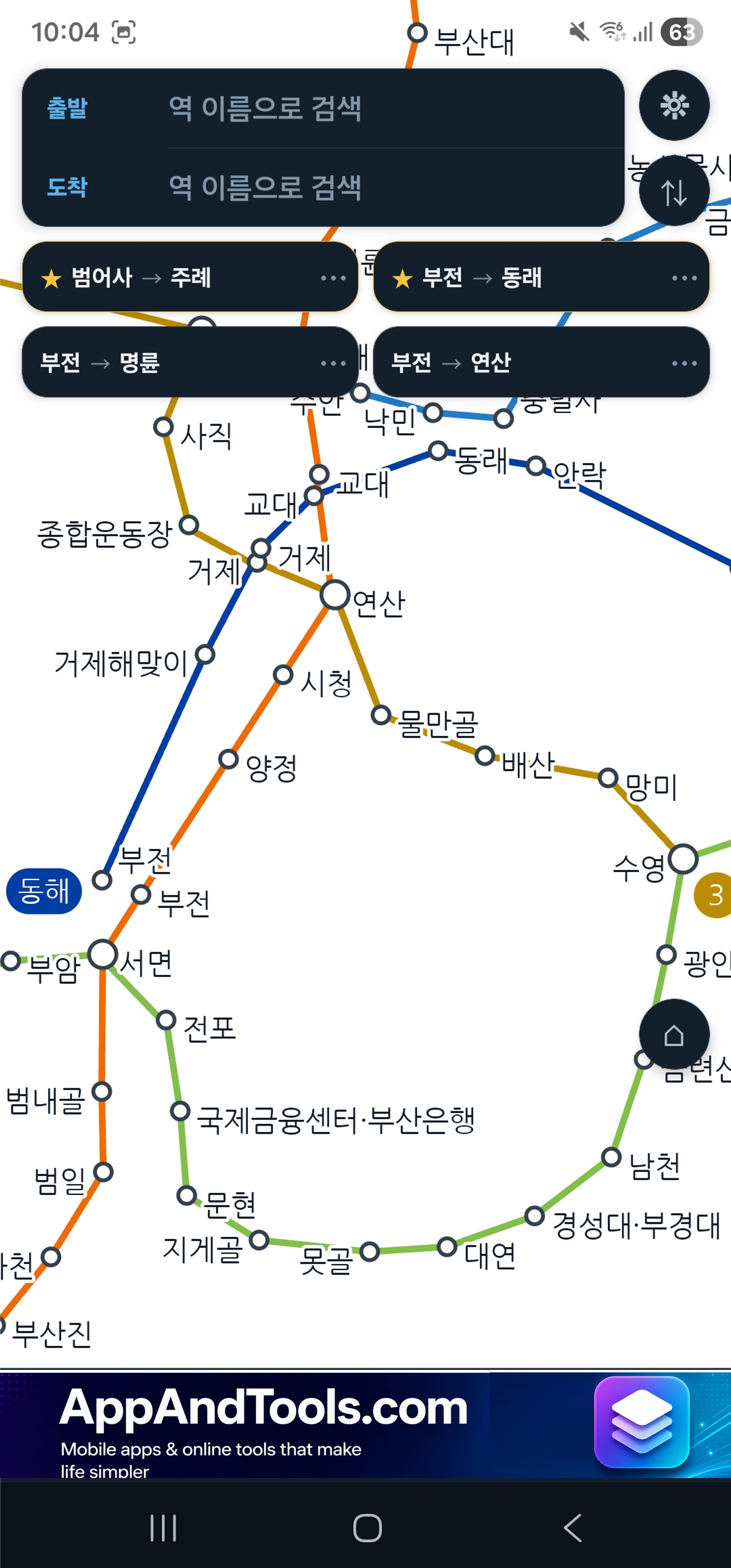
Screenshots
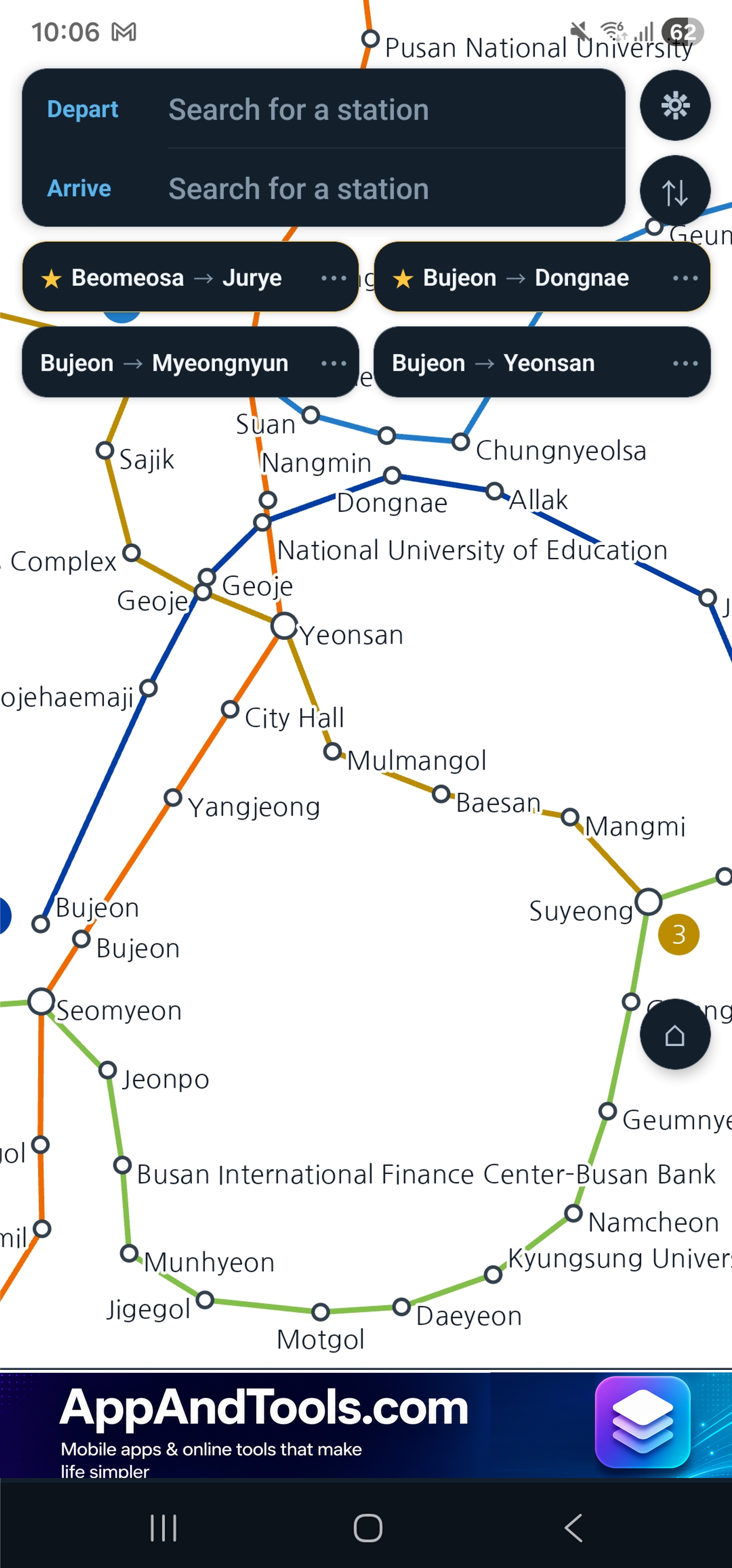
About Busan Subway
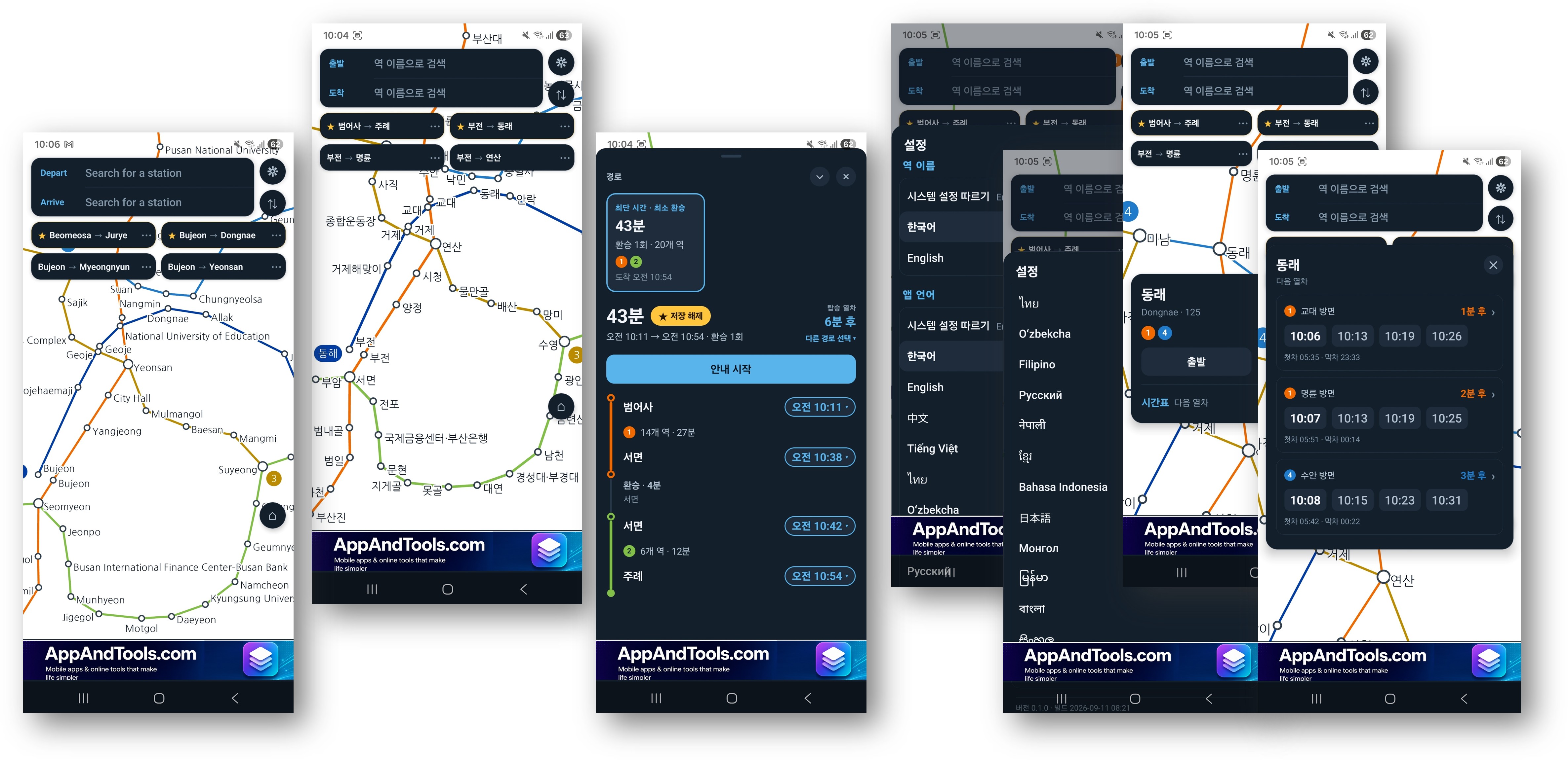
Every station. Every train. Every time. Real timetables for all 149 stations on all six lines — Humetro Lines 1 to 4, the Busan–Gimhae Light Rail and the Donghae line. In your language, with no internet needed.
From Dadaepo Beach and Seomyeon to Haeundae, BEXCO, Gimhae Airport and up the coast to Taehwagang in Ulsan.
The maps, the stations and all six timetables are stored on your phone. Nothing in this app needs a signal. It works on an underground platform, in a tunnel, and on a foreign SIM with no data left.
Free. No account. No location permission.
A Timetable at Every Station
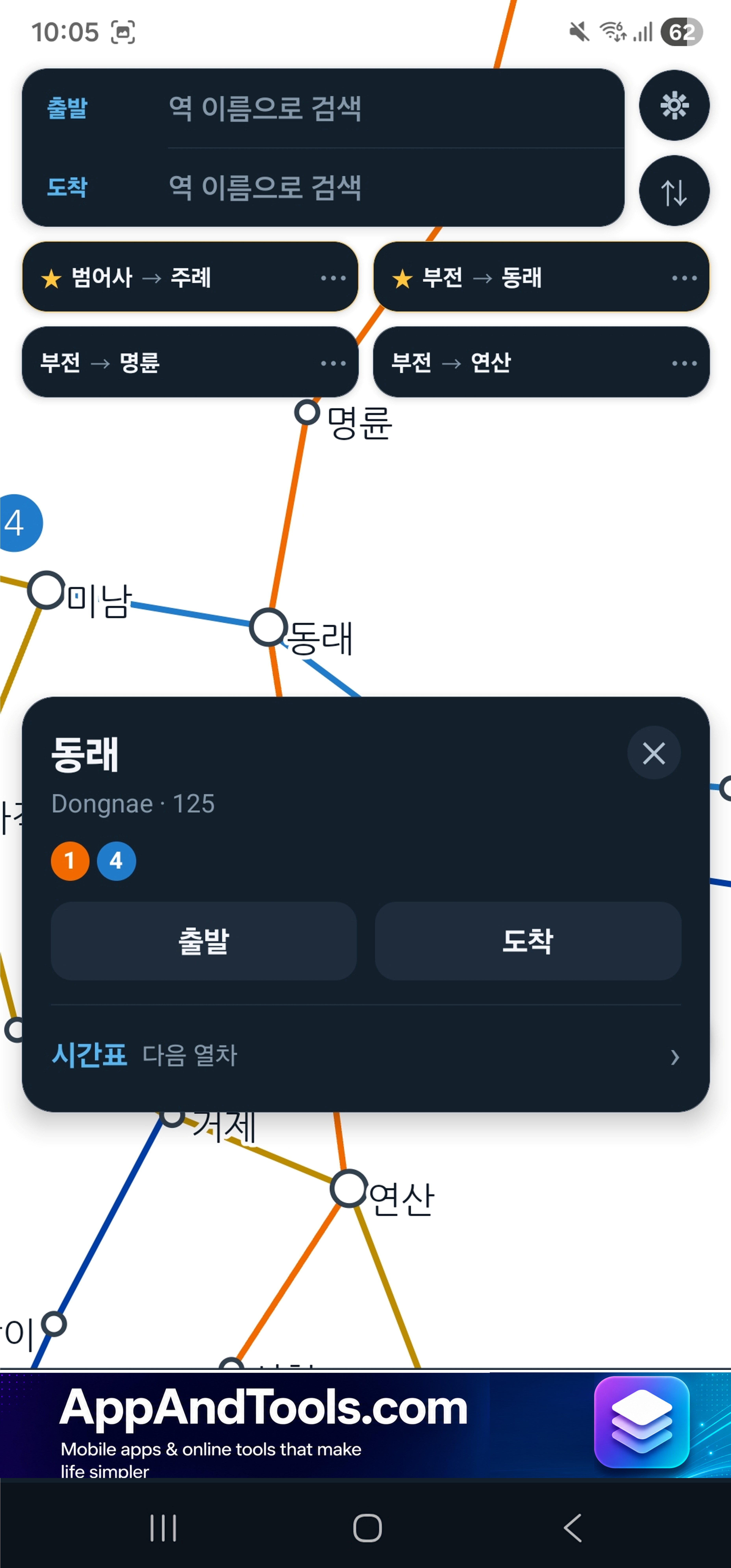
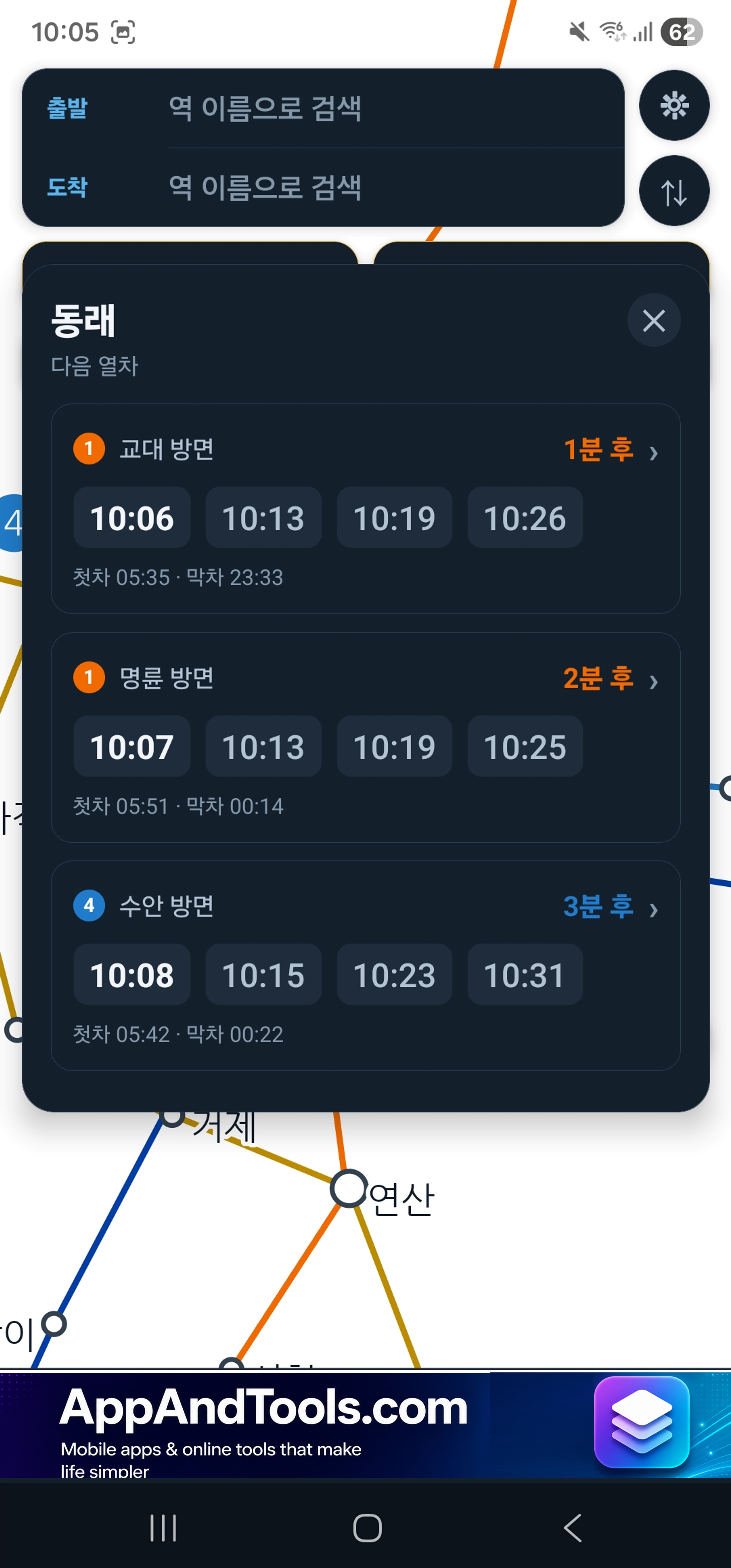
Not most stations. All 149, on all six lines, with separate weekday, Saturday and holiday services, plus the first and last train of the day.
Departure times come from the official published timetables, not from an average gap between trains. You get the actual train at the actual minute.
Real Walking Time at Korail Interchanges
Some interchanges are not one building. Where you have to walk between two separate stations, the app counts the real walk instead of pretending the change is instant — 7 minutes at Bujeon, 8 at BEXCO. A route that ignores that is a route you miss.
Two Map Types: Diagram and Real Map
The app supports two map types. Most apps give you only one. Here you get both, and you switch between them with one tap:
- The diagram. The six lines straightened out for reading, the way the map on the station wall is drawn — with the river and the sea still in their places.
- The real map. Every station exactly where it stands on the ground. You can see the Nakdong River and the coast, and judge when walking beats changing trains.
The app opens on the diagram. Tap once to switch to the real map, and tap again to go back. The app remembers your choice.
Features
All 149 stations, all six lines
Weekday, Saturday and holiday times, plus the first and last train.
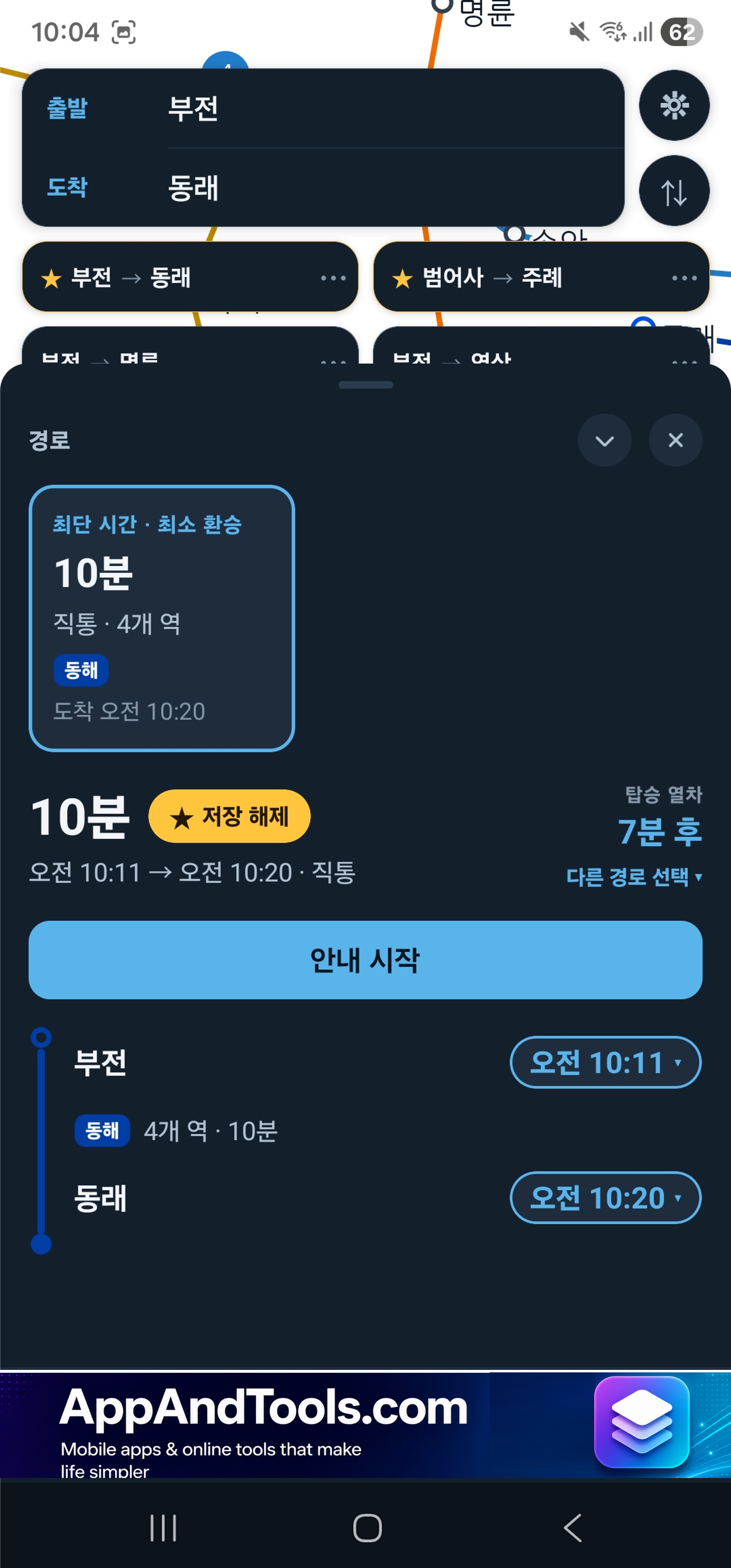
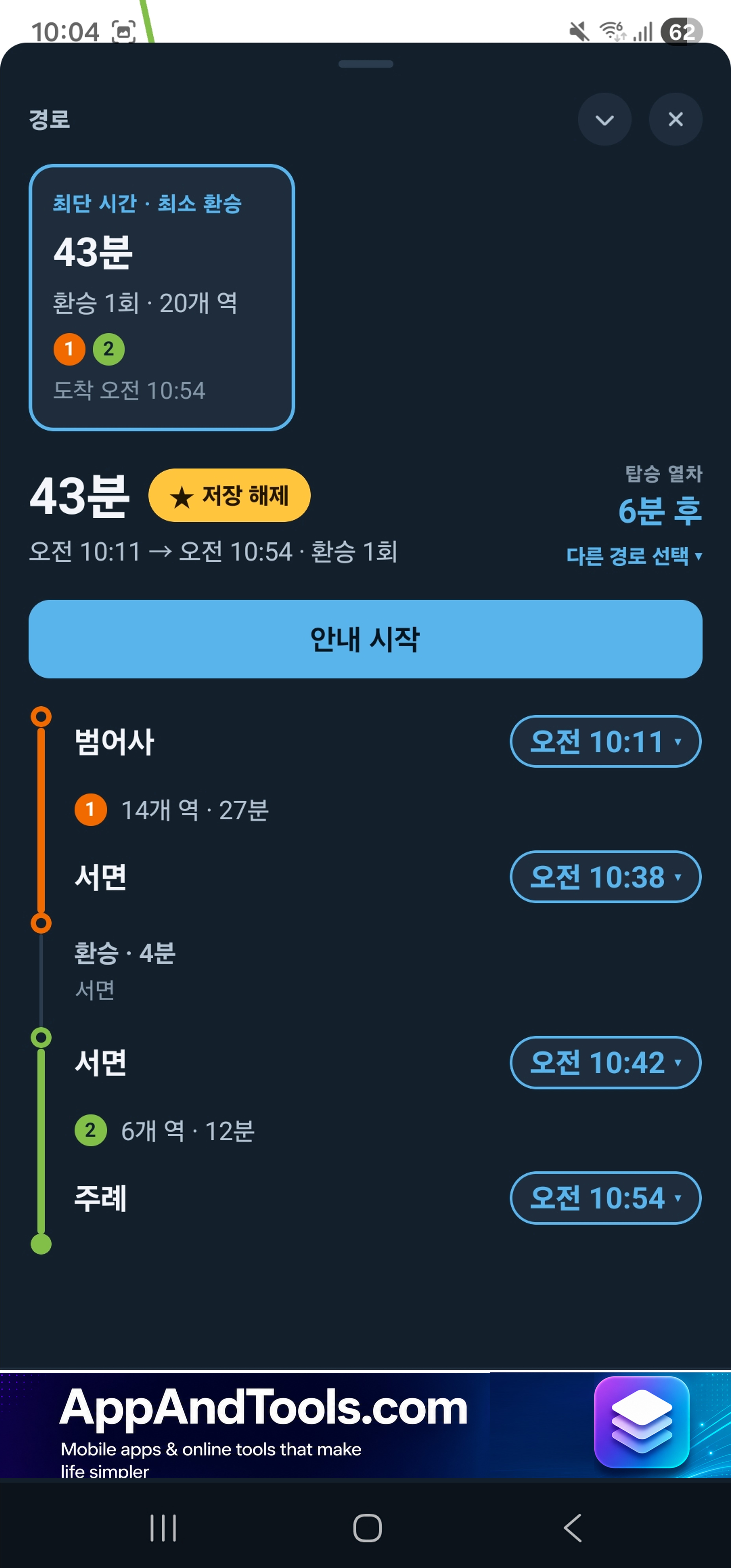
Fastest and fewest transfers
Each with departure, arrival, total time and number of changes.
Korail interchanges counted honestly
7 minutes at Bujeon, 8 at BEXCO — built into every route.
Diagram and real map
Switch between the two map types with one tap.
Never miss your stop
The next station, stops remaining, and where to change.
Nothing needs a signal
Maps, stations and every timetable are stored on your phone.
Busan, Gimhae and Ulsan
Humetro 1–4, Busan–Gimhae Light Rail and the Donghae line.
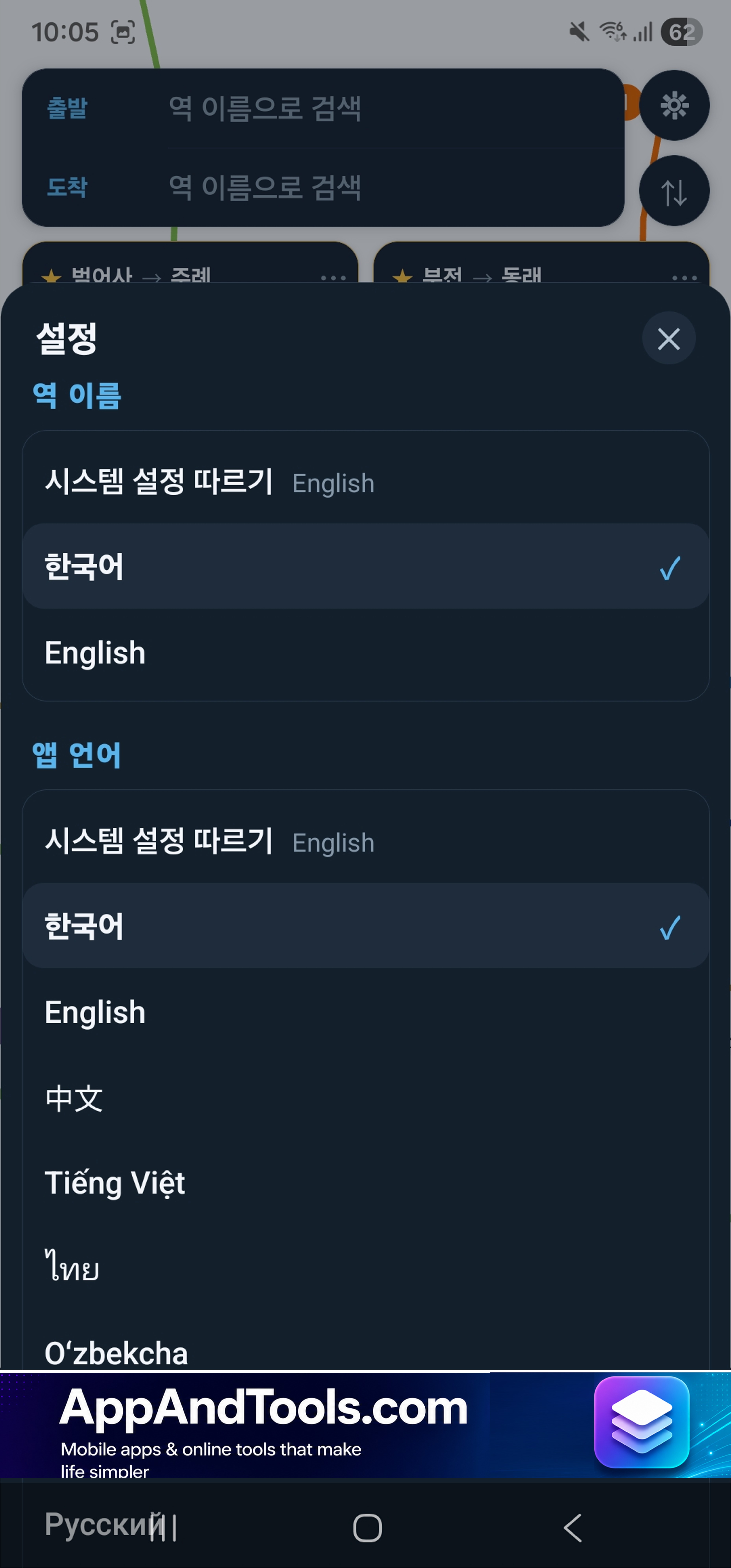
Match the signs on the platform
Set station names separately from the app language.
No account, no location
Saved routes stay on your phone and are never sent anywhere.
Coverage
All six lines, end to end: 149 stations, and every one of them has a real published timetable:
- Line 1 (1호선) — Humetro Line 1, Dadaepo Beach to Nopo
- Line 2 (2호선) — Humetro Line 2, the green line through Seomyeon
- Line 3 (3호선) — Humetro Line 3
- Line 4 (4호선) — Humetro Line 4, the driverless light rail
- Busan–Gimhae Light Rail (부산김해경전철) — out to Gimhae, via Gimhae International Airport
- Donghae line (동해선) — up the coast to Taehwagang in Ulsan
Timetables come from the national annual dataset. They match the edition they were built from, so they can be a few minutes out after an operator changes a line's times.
Read It In Your Language
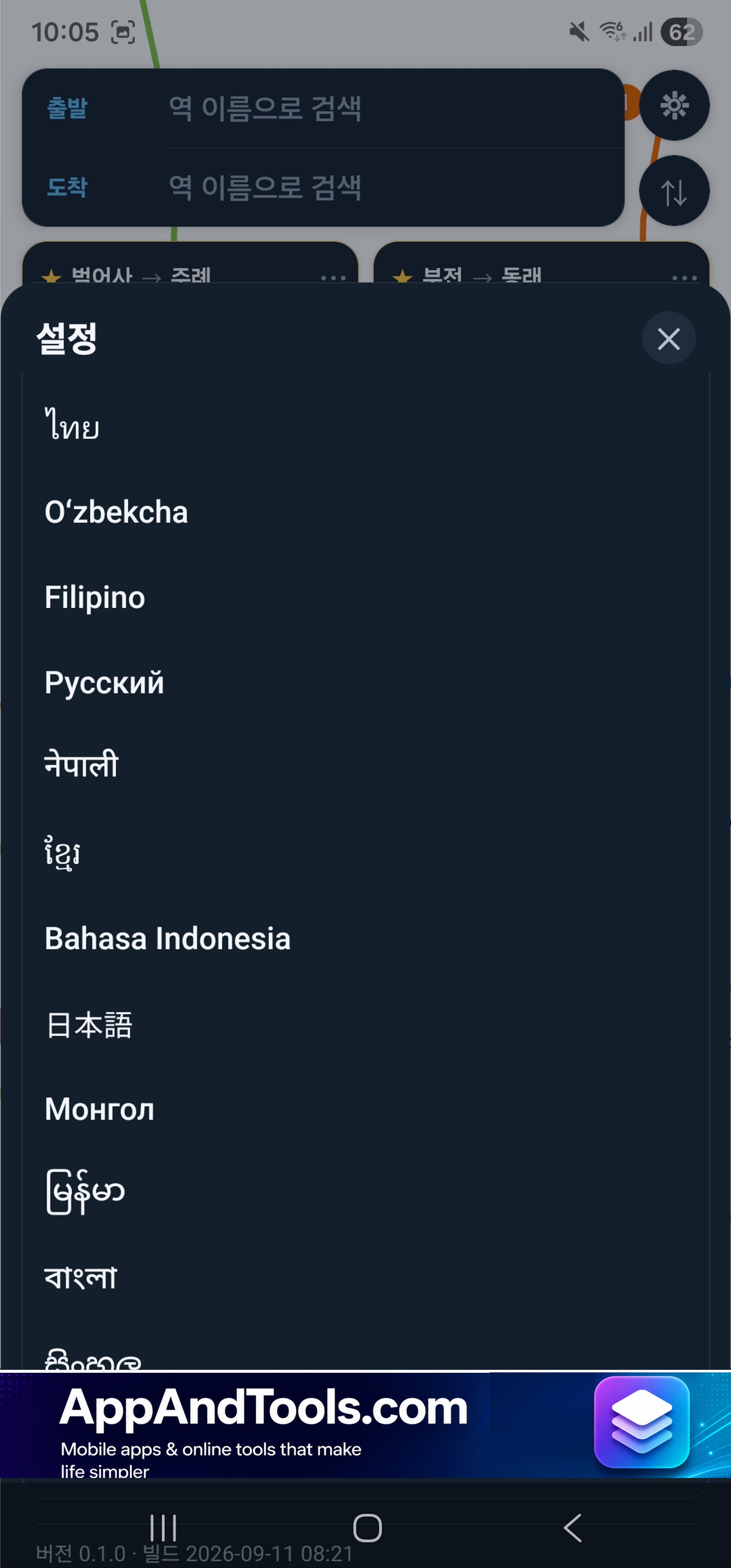
The app is available in 17 languages — 한국어, English, 中文, 日本語, Tiếng Việt, ไทย, Oʻzbekcha, Filipino, Русский, नेपाली, ខ្មែរ, Bahasa Indonesia, Монгол, မြန်မာ, বাংলা, සිංහල and Қазақша.
Station names are set separately from the app language. Read every button in your own language and keep station names in Hangul, so what is on your screen matches the sign on the platform. Station names come in Korean and English only — that is a limit of the data, not of the app.
Private by Design
Nothing about you leaves your phone.
- No account, no email, no phone number.
- The app never asks for location permission.
- Saved routes and settings stay on the device.
The app shows ads, which is how it stays free.
Built on Public Open Data
- Timetables, all six lines — Korea National Railway (국가철도공단), national urban railway operation data
- Station positions — OpenStreetMap contributors
- English station names — Wikipedia
- Line colours — Korean Wikipedia
Map data © OpenStreetMap contributors, licensed under ODbL.
본 서비스는 국가철도공단의 공공데이터를 활용하여 제작되었습니다.
Perfect For
- Checking the next train at any station, even with no signal
- Catching the last train before it goes
- Getting to and from Gimhae Airport on the light rail
- Riding the Donghae line up the coast to Ulsan
- Travellers who want the app in their own language but station names in Hangul
Frequently Asked Questions
What is Busan Subway?
An app for the whole Busan subway network — all six lines and 149 stations. It shows the real published timetable at every station and the fastest route, on two map types: a diagram and a real map.
Does it show live train arrivals?
No. Busan does not publish a live arrival feed. What the app shows is the real published timetable at every station, which works everywhere, including underground.
How many stations and lines does it cover?
149 stations and 6 lines: Humetro Lines 1 to 4, the Busan–Gimhae Light Rail and the Donghae line.
Does it work without internet?
Completely. Nothing in this app needs a connection.
Which routes does it show?
Two, side by side: the fastest route and the one with the fewest transfers. Each shows its departure time, arrival time, total journey time and number of changes. Walking time at Korail interchanges like Bujeon and BEXCO is included.
Which map types does it support?
Two map types: a diagram and a real map. The app opens on the diagram, like the map on the station wall. One tap switches to the real map, with every station where it stands on the ground. The app remembers your choice.
Does it cover the airport?
Yes. Gimhae International Airport is on the Busan–Gimhae Light Rail, and that line is included end to end.
Does it go to Ulsan?
Yes. The Donghae line runs up the coast to Taehwagang, and every station on it is in the app.
Can I see station names in English?
Yes. Station names can be set to Korean or English, separately from the app language — so you can read the app in your own language and keep station names in Hangul to match the platform signs.
Do I need an account?
No. There is nothing to sign up for. Saved routes and settings stay on your phone.
Is it free?
Yes. Ads pay for it.
Is there a Seoul version?
Yes. Seoul Subway covers the whole Seoul, Incheon and Gyeonggi network, with live train arrivals. You can find it at the bottom of this page.
How to use it
- Pick a map type — the app starts on the diagram; tap once to switch to the real map
- Enter your stations — type where you are and where you are going
- Compare two routes — the fastest, or the one with the fewest transfers
- Start the journey — the app tells you the next station, stops left, and where to change